Additional information
| Weight | .6 lbs |
|---|

$19.95
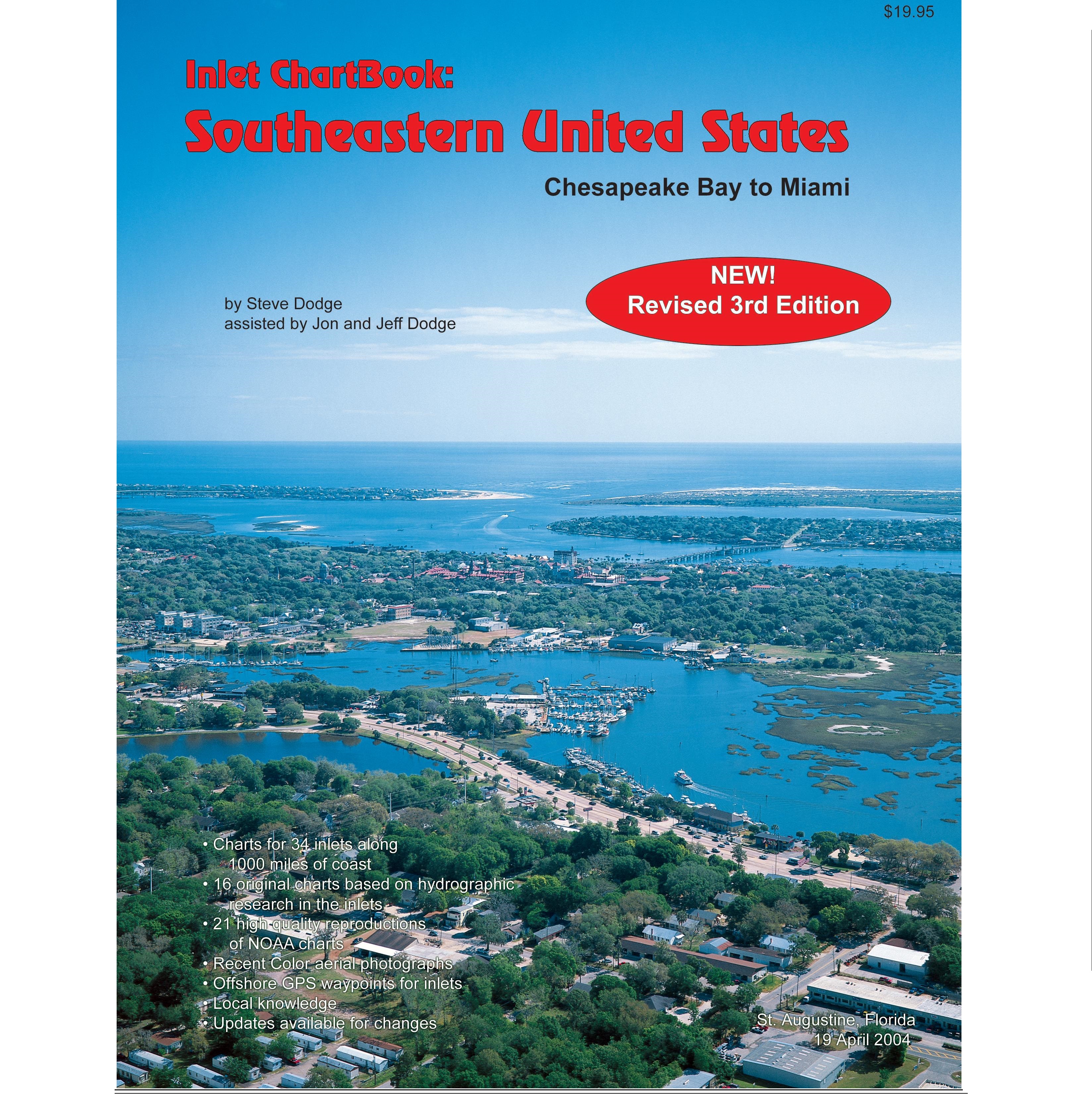
By Steve Dodge, assisted by Jeff and Jon Dodge.
This Unique new piloting guide provides detailed charts and color aerial photographs of inlets from Chesapeake Bay to Miami … to help mariners transit unfamiliar inlets. It is an expansion of our successful The Inlet ChartBook: Florida’s East Coast (1998). Note: This is now the 3rd edition of this updated publication.
Charts for inlets not charted by NOAA are based on our own hydrographic research (dated with day, month and year of on-site research).
Charts for commercial inlets are modified portions of NOAA charts.
Area locator maps for each inlet identify nearby anchorages and/or marinas.
| Weight | .6 lbs |
|---|
Only logged in customers who have purchased this product may leave a review.


Reviews
There are no reviews yet.